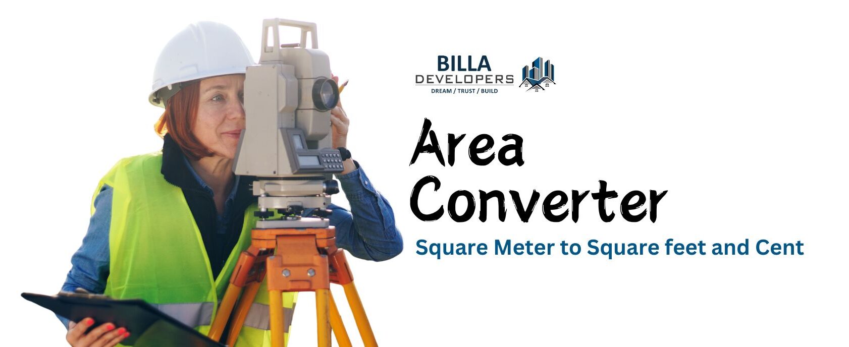
Expert Land Surveying with Cutting-Edge GPS Technology
At Billa Developers, we offer advanced digital land surveying using GPS technology to provide precise measurements that are essential for construction planning, property boundaries, and legal documentation. Our highly accurate surveys ensure that your land data is reliable and compliant with regulations, making it easier to move forward with your projects.

Digital GPS Land Surveying
Accurate land measurement using advanced GPS technology

Boundary Surveys
Precise determination of property lines for legal purposes

Topographic Surveys
Mapping of natural and man-made features for construction planning

Construction Staking
Setting out markers to guide building projects based on design plans.
Why Choose Us For Land Survey?
- High Precision: Our GPS technology ensures error-free measurements.
- Experienced Surveyors: A team of certified professionals with expertise in complex land surveys.
- Comprehensive Reports: Detailed land survey reports that are legally compliant and easy to understand.
- Timely Service: Fast turnaround times to keep your projects on schedule.


